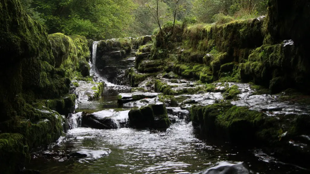
Geology of the Mississippi Riverbed
The Mississippi River, flowing from the Midwestern states of Minnesota, Iowa, Wisconsin and Illinois to the Gulf of Mexico, is one of the longest rivers in the United States, measuring more than 2,300 miles long. Its bed, an intersection of sandy and rocky materials, reveals along its entire length a varied profile of geological formations that have been shaped over millions of years by the might of its steady flow.
From its source at Lake Itasca to the Mississippi Delta, where the iconic deltaic network extends into the coastal waters of Louisiana, geologists have divided the rivers bed into six major divisions. In the Upper Mississippi Valley, the river winds through a series of bluffs that sedimentary rocks and limestone outcrops form. Following the valley of the Iowa and Wisconsin, the riverbed transitions in the Middle Mississippi Valley to an Illinois upland composed by quartzite, limestone and dolostone. Here, lower river speed allows the accumulation of fine grains, creating a sedimentary wedge.
Continuing southwards, the Lower Mississippi Valley is the site of a distinct eolian feature, the Grand Prairie of Arkansas, composed of the post-glacial loess deposits. Further downstream, in the area between the confluence of the Mississippi and the Ohio rives, the alluvial floodplain is composed of sediment loads from both tributaries. This deposits form a fine-grained sedimentary wedge that narrows as it continues to the rivermouth.
The formation of this varied geological landscape has been determined by two main factors. The geological formations along the banks of the Mississippi were created over millions of years as its waters eroded and deposited sediment in distinctive layers. Additionally, the diverse landscape of the riverbed is greatly affected by the Mississippi’s system of distributaries and floodplain features, which modulate its speed of flow.
Geomorphic Characteristics
The diverse landscapes of the Mississippi River produce a variety of geomorphic characteristics. Geomorphology is the study of landforms and the processes which shape them. These landforms are closely related to the power of the rivers flow and its sediment load. Therefore, the shape of the riverbed is constantly changing, being scoured at some locations and filled in at others. Along the lower part of the Mississippi River, for example, the flow of its waters has created huge deposits of sediment that have resulted in the formation of large levees and floodplains. These landforms contain the highest sediment levels offered by the river system.
At certain locations, the power of the river has been great enough to cause erosion, particularly along the steep bluffs of the Upper Mississippi that ring the Minnesota-Wisconsin border. This erosion also explains the presence of deeper ravines and canyons, such as the Grand Canyon of the Mississippi, which is located between St. Louis and Hannibal, Missouri. All these elements combine to create the distinct geomorphic characteristics of the Mississippi River.
Biodiversity
The varied landscapes along the Mississippi have played a major role in shaping the river’s biological diversity. Its wetlands and floodplains, for example, serve as an important habitat for birds, fish, reptiles and amphibians. Its waters are home to around 85 aquatic species, such as the paddle fish, muskie and catfish. The Mississippi Delta, on the other hand, is an important habitat for wintering waterfowl and millions of waterbirds that utilize its wetlands and sandbars during migration.
This inherent biodiversity has been severely comprised in the face of human activities that disturb the river’s environment, such as the construction of levees and dams to control it’s flow. These works have led to a drastic alteration of the river’s habitats, with more than 90% of the Mississippi’s wetlands being lost due to development and urbanization. The destruction of wetlands, in turn, has been linked to the destruction of wildlife habitat, causing an alarming decline in species of birds, fish and other animals.
Human Impact
Over the years, the Mississippi has been heavily affected by human activities, particularly in its lower and central regions. During the 1950’s and 60’s, engineers initiated a massive system of dams and levees along the river, resulting in the artificial regulation of the river’s flow and the destruction of natural habitats. In the Mississippi Delta, meanwhile, the alteration of its network of channels by means of dredging and the construction of canals has led to immense changes in the way the river works.
Furthermore, the Upper Mississippi region has been disrupted by industrial and agricultural activities. The implementation of drain-tile systems to increase the area of arable land, as well as the intensified use of fertilizers and pesticides, have impinged on the quality of the region’s waters, resulting in an alarming increase of nitrogen and phosphorus levels, leading to eutrophication and the destruction of aquatic habitats.
Discussion
The geological profile and the varied topography of the Mississippi Riverbed play a decisive role in maintaining the health of the river and its ecosystems. Its wetlands, as well as its sandbars, are essential habitats for a wide variety of flora and fauna. The destruction of its habitats through human activities, on the other hand, has led to the destruction of its biodiversity, consequently impairing its many livelihoods and its quality of life.
To protect the integrity of the Mississippi River and its ecosystem, it is essential to acknowledge the role of the riverbed in maintaining its ecological health. By promoting responsible management practices and creating an integrated system of conservation and restoration, it is possible to ensure not only the integrity of the water system, but also the quality of life of all its inhabitants.
Sediment Deposition
The action of its waters over millions of years has led to the accumulation of sediments along its bed. This sediment load typically varies based on the channel bifurcation rate, the channel slope, the rate of sediment delivery, and the average velocity of the river. During the floods of 2011, for example, the sediment load in some locations along the Missouri-Mississippi rivers increased by more than 300%.
The deposition of sediment at the mouth of the river, or the Mississippi Delta, leads to the expansion of land into the sea. This process, which is known to geographers as deltaic progradation, results in the growth of the wetlands of Louisiana and the transformation of the coast’s shape. It is estimated that the Mississippi Delta has grown to almost 3,000 square miles, creating one of the most biodiverse wetland ecosystems in the world.
Pollution
While its waters were historically clean and full of wildlife, the gradual deterioration of its environment has caused a major decline in the quality of its waters. The presence of pollutants such as pesticides, industrial compounds and heavy metals has caused a great decline in both the quality and its biodiversity. As a result, the river today is home to barely 10% of the species that inhabited it in the past.
The most submerged watershed in the Midwest, the Mississippi River is expected to experience even greater declines in quality as increases in runoff from major urban areas and agricultural land will further elevate its levels of pollution. With no signs that these activities will be curtailed, the outlook for the health of the river’s ecosystem is grim.
Conclusion
The Mississippi Riverbed is an iconic feature of the American Midwest, filled with a diverse and vibrant array of geological features and wildlife habitats, constantly shaped by its powerful waters. Yet, this has been compromised in recent decades by human activities that have damaged the rivers environment and degraded its biodiversity. If these trends are to be reversed, it is essential that a comprehensive system of conservation and restoration is implemented, to ensure that the bottom of the Mississippi River is filled with life, rather than with pollution.
